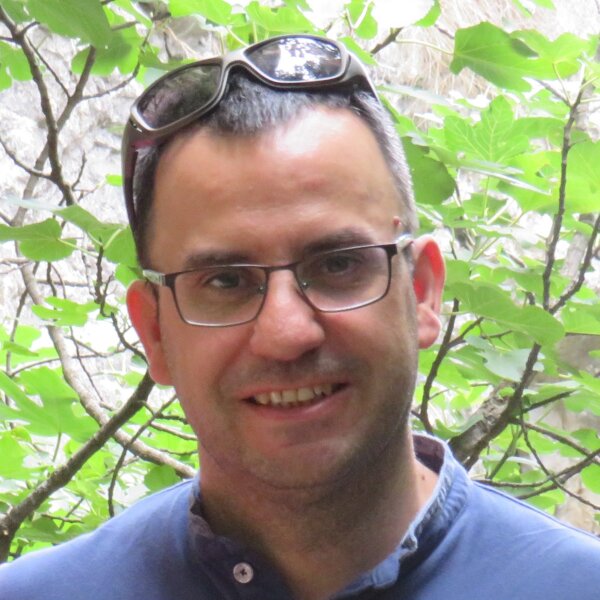
Regino Zamora
Project coordinator · Full Professor
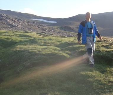
Photo: Bouke ten Cate · CC BY 4.0 · via Wikimedia Commons
Sierra Nevada, in south-eastern Spain, rises to 3,479 m at Mulhacén, the highest summit of the Iberian Peninsula. Protected as a Natural Park and National Park and recognised as a UNESCO Biosphere Reserve, it is one of the most important centres of plant endemism in the Mediterranean basin.
Its high-mountain wet meadows, locally known as borreguiles, and snowbed grasslands are fed by snowmelt and by a dense network of traditional irrigation ditches (acequias) of medieval origin, which spread water across slopes and recharge aquifers. These systems are the reference model that PRESINMED aims to export to other Mediterranean mountains.
Sierra Nevada is also one of the best-monitored mountains in Europe (GLORIA, LTER and the Sierra Nevada Global Change Observatory), providing long time series on climate, snow, vegetation and fauna.

PRESINMED is funded through the 2023–2024 Biodiversa+ joint call for research proposals “Nature-based solutions for biodiversity, human well-being and transformative change” (BiodivNBS), with the national funders of the participating countries. Biodiversa+ is the European Biodiversity Partnership, co-funded by the European Commission.